Wallagoot Lake Shoreline
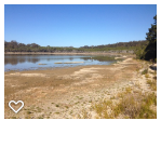
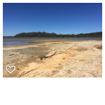
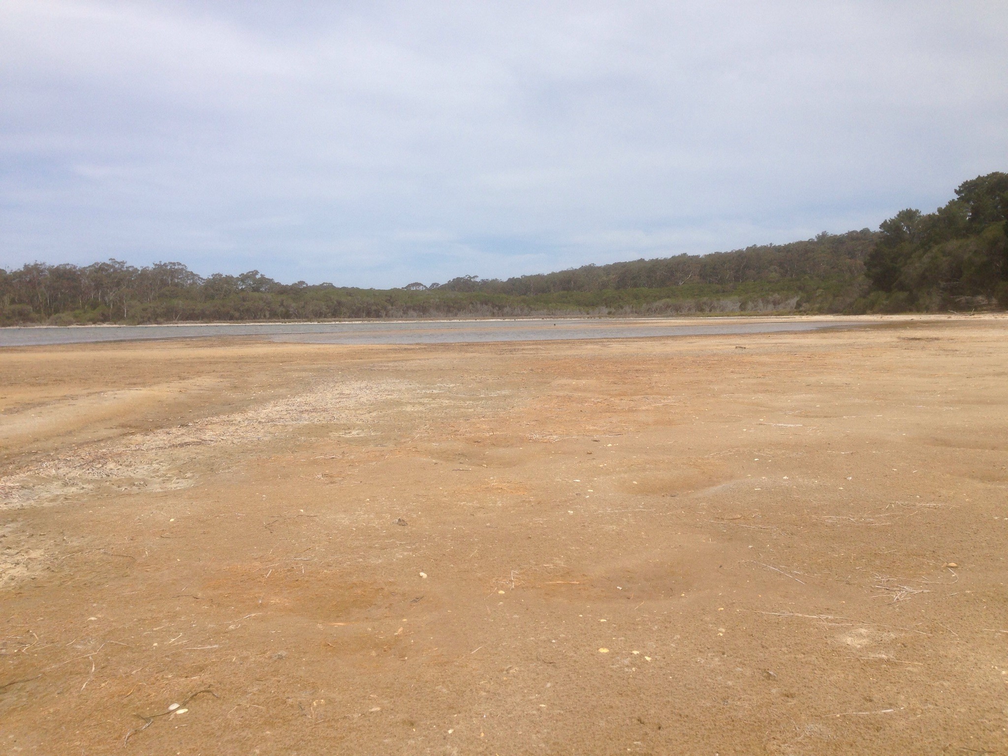
In 2009 we mapped the shoreline of Wallagoot Lake at Scotts Bay. In 2010 as the drought worsened, we did it again. The recent dry conditions have seen the lake level drop so we got the trusty Garmin 78S GPS out and squished around in the mud to repeat the experiment. You can check out the results on this Google Map. Click on the map to zoom in on Wallagoot Lake!
Images: From Left to Right – Scotts Bay – 6/8/19, 17/10/19 and 14/11/19