
Landscapes and Landforms – Geomorphic Processes and Coastal Hazards
Program Overview
This program allows students to visit a range of coastal landforms and to examine the types of coastal hazards that can impact these areas. They examine the geomorphic processes that can create such landforms and discuss the environmental, economic and social impacts of coastal hazards and how they can be managed.
This program involves field work in a coastal environment as well as the use of a range of ICT tools such as GPS and analysis of computer model data. The program is supported by a website that was designed specifically for this program. BEEC can provide access to the Google Sites teaching resource upon request.
Educational Focus
Geography
GE4-1, GE4-5, GE 4-8
Science
SC4-13ES
Learning Experiences
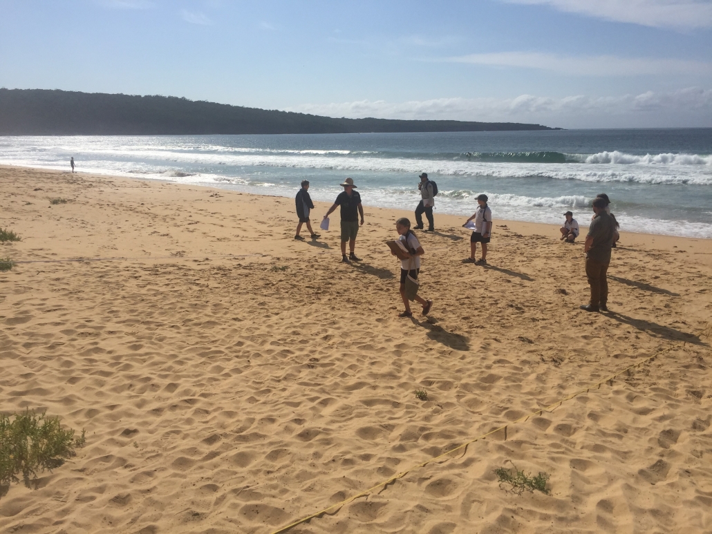
Tour of coastal landscapes
Students navigate using GPS and visit a number of locations. At each location students discuss which coastal hazards may occur. Hazards may include; wave over topping, coastal inundation, sand drift and shoreline recession. The students identify what assets are under threat and discuss management options available in each case.
Hazard prediction models
Students interpret data from a number of computer models that are used to predict the impacts of coastal hazards at the locations just visited. Images generated by such computer models can predict the expected impact of coastal hazards in 2050 and 2100. Councils use this information in their planning process.
Other geomorphic hazards
Students focus on other geomorphic hazards such as earthquakes and tsunamis. They look at the geomorphic processes that create these hazards, how they are managed globally and their potential to impact on their local area.
Final report
Using data from the predictive models combined with their own observations in the field students develop a report that identifies:
- where might coastal hazards occur around their local area
- the nature of these hazards, including causes and impacts of each hazard
- the potential management strategies that could be employed at each site